File:Orange Islands Map closeup.png
Orange_Islands_Map_closeup.png (640 × 480 pixels, file size: 303 KB, MIME type: image/png)
Summary
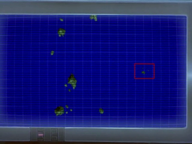
Map of the Orange Islands, with Shamouti Island highlighted.
Licensing:
| This image is a screenshot from the Pokémon anime, or substantially derived from one. The contributor claims this to be fair use. | 
|
File history
Click on a date/time to view the file as it appeared at that time.
| Date/Time | Thumbnail | Dimensions | User | Comment | |
|---|---|---|---|---|---|
| current | 23:25, 18 September 2011 |  | 640 × 480 (303 KB) | Vuvuzela2010 (talk | contribs) | == Summary == Map of the {{bp|Orange Islands}}, with {{bp|Shamouti Island}} highlighted. == Licensing: == {{i-Fairuse-screenshot-anime}} Category: Location artwork |
You cannot overwrite this file.
File usage
There are no pages that use this file.
